At the gateway to Normandy and Brittany, Pontorson combines a rich cultural heritage, hiking trails and ancient windmills.
Pontorson, Gateway to the Mount
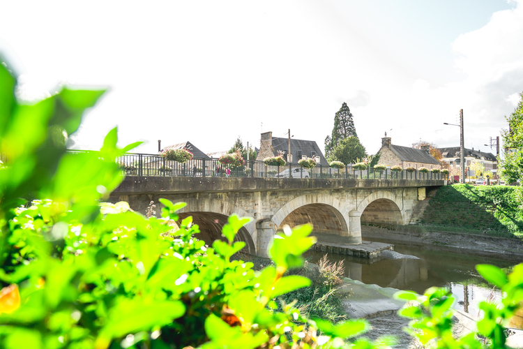
Located 10 kilometres from Mont Saint-Michel, Pontorson takes its name from the bridge – now disappeared – which once crossed the Couesnon. Built by a captain named Orson, the Pont d’Orson (Orson Bridge) became Pontorson.
In Pontorson, a market is held every Wednesday in the streets and on the Town Hall square.
A town with mediaeval origins
Founded under the reign of William the Conqueror, Pontorson today offers very few vestiges of its mediaeval past, except for its church: Notre Dame de la Paix.
Built on the orders of William the Conqueror, it was constructed by the same architects who built the Romanesque Abbey of Mont Saint-Michel.
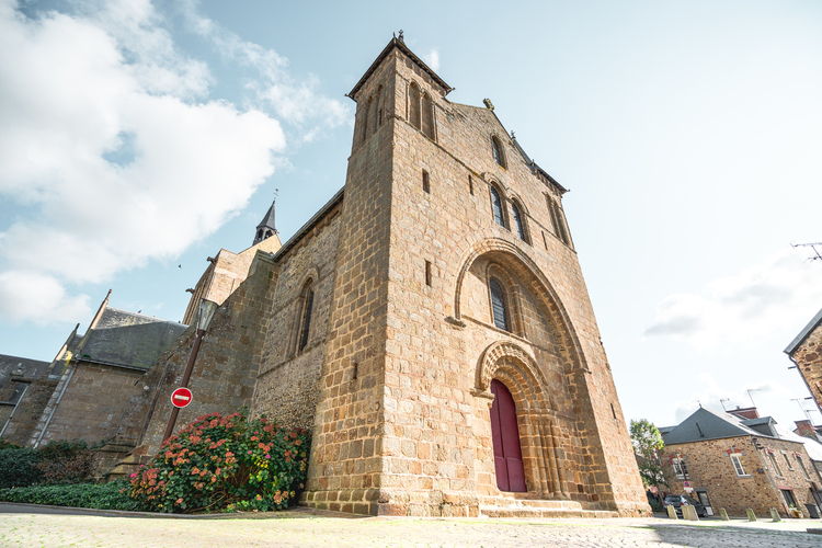
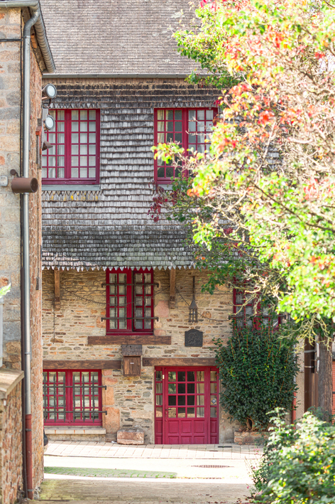
From the church, head on to the Rue du Château to reach another of the town’s mediaeval relics: the Maison Romane, or to give it its real name, the “Guischard de la Ménardière” house.
Among the turmoil of the Wars of Religion
The town of Pontorson is also linked to the wars of religion, between Catholics and Protestants, which shook France in the 16th century. The Protestant temple, also known as the Prêche, was the only Protestant building in the Manche region before the Edict of Nantes in 1598. It was the Earl of Montgomery, descendant of the Ducey Montgomerys, who brought Protestantism to Pontorson in the 1590s.
Along the water’s edge
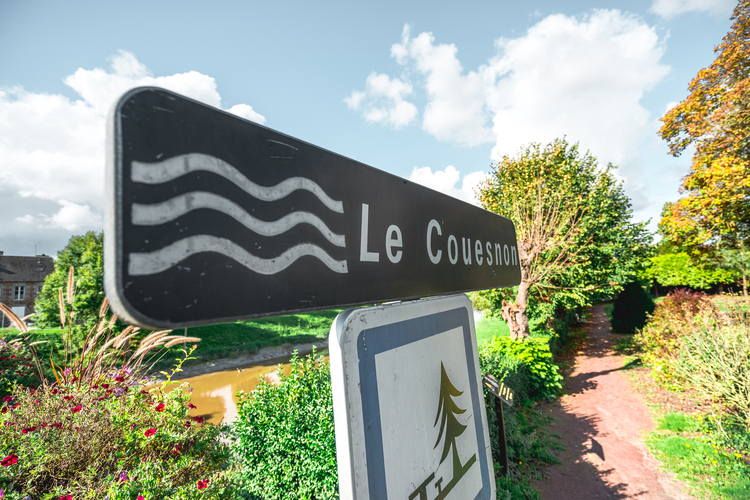
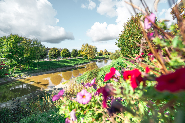
This river that crosses Pontorson is the Couesnon. This river is historically the border between Brittany and Normandy. At times capricious, and always moving in the bay, there is even an old saying concerning it :
put the Mount in Normandy.
Today, the border with our Breton neighbours is located four kilometres west of the Couesnon, but the river is still an important asset for the town. Whether it’s for fishing, kayaking or cycling along the walking/cycling route!
Labelled a Station Verte (Green Resort) since 22 January 2008, the town and its shops guarantee visitors an eco-responsible town, dedicated to eco-tourism. In a word, green!
La Route des Moulins
Head for Mont Saint-Michel !
Leaving the town from the north, we cross the vegetable fields. The Mount finally appears in the distance before us, while on the ridges of the hills we can still see our old mills.
Moidrey and its mill
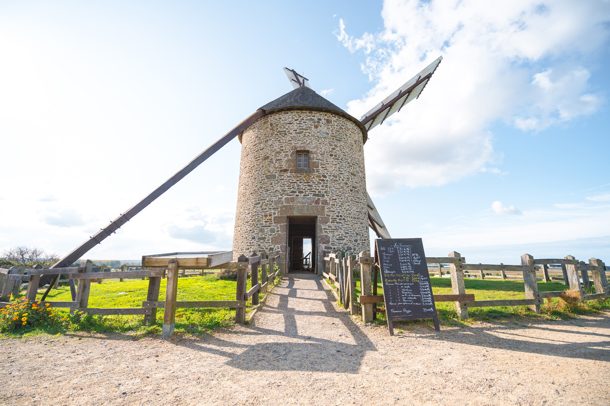
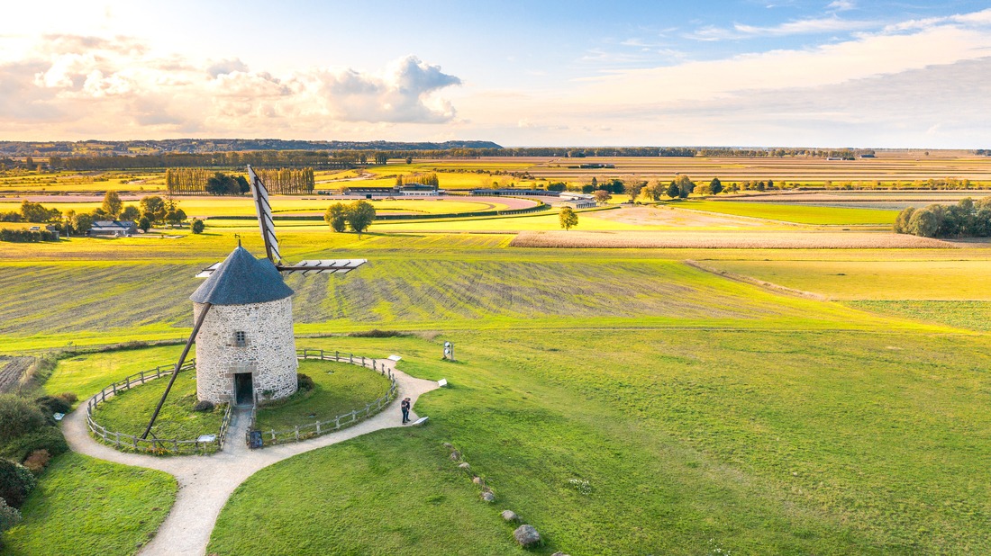
Built at the end of the 19th century, and listed as a World Heritage Site since 2007, as part of the Mont Saint-Michel and its bay, the Moidrey windmill is still in operation today. There, a miller makes flour using only the force of the wind. Wheat flour, rye flour, buckwheat flour, oat flour, barley flour and much more.
From the mill you can enjoy a beautiful view over the polders, the Mont Saint-Michel in the distance or the racecourse below.
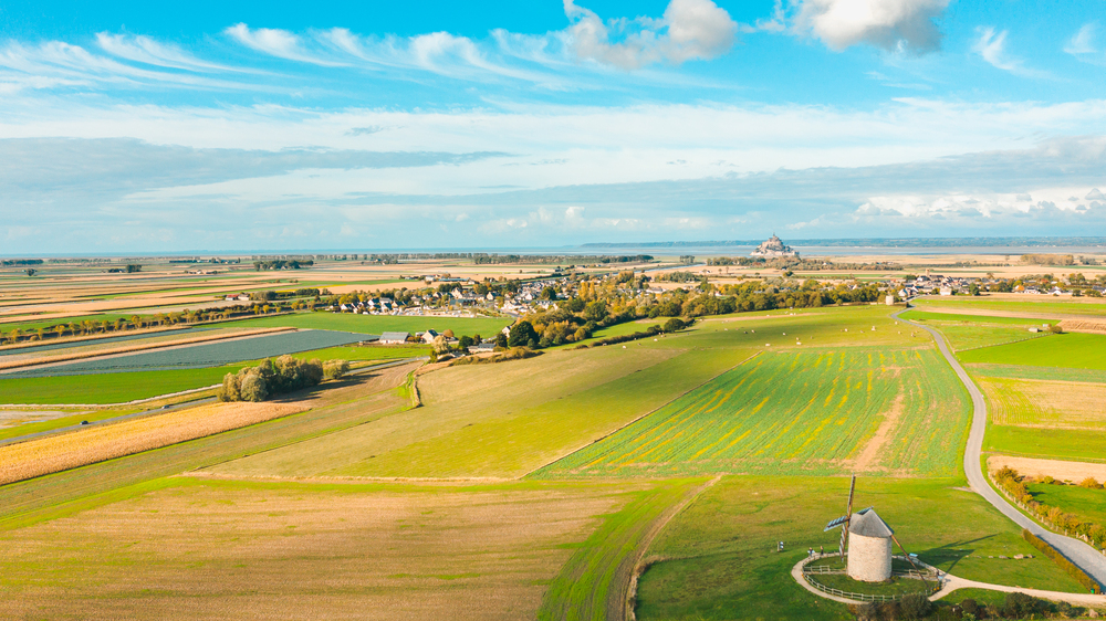
What a beautiful sight!
Returning to the road again, known as the “Rue des moulins”, we head towards the Mount. On the way, we can see various other mills, some missing their heads. Finally, we arrive in a commune – the last before we reach the Mount: Beauvoir.
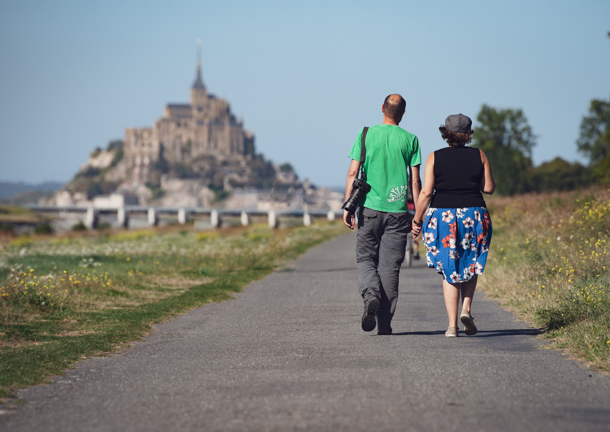
In the past, this small town was known as Astériac. Legend has it that in the early days of Mont Saint-Michel’s foundation, clerics brought the archangel’s relics back to the Mount. As they passed through the village of Asteriac, a woman who had been blind since birth suddenly gained her sight. She then exclaimed “What a beautiful sight!”». “Beau voir”
An extraordinary dam
From Beauvoir, we continue on our route by taking the walking/cycling route, still heading towards Mont Saint-Michel. After another three kilometres, we will arrive in front of the dam on the Couesnon.
Completed in 2009, the dam operates on the principle of water releases. Shortly after the high tide, the gates of the dam are closed, allowing the Couesnon to act as a water reservoir as the sea retreats. Then, six hours after the high tide, the gates open progressively, chasing away the sediments accumulated around the Mont Saint-Michel.
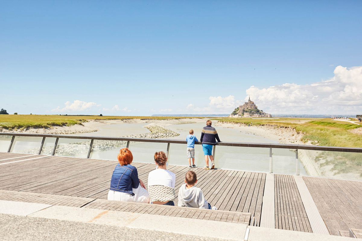
Want to know more about the dam? Visit the Projet Mont Saint- Michel website.


